Collect
Satellites - Drones - Vessel Signals
Coastal Intelligence Platform
TerraBox brings together satellite, sensors, AIS, and your existing data - unified for coastal monitoring, restoration, and compliance.
<1 in 10
coastal areas effectively monitored
Multiple
data sources unified into one layer
Continuous
monitoring, alerts, and compliance
HOW IT WORKS
TerraBox connects your existing data sources and turns them into a picture your team can actually act on.
Satellites - Drones - Vessel Signals
One operational layer - no silos
AI flags anomalies against baseline
Timestamped records built automatically
Continuous monitoring, alerts, and compliance
PRODUCTS
Two products, one platform. Each designed around the specific data sources, workflows, and compliance requirements of its users.
 TerraBox Manifest
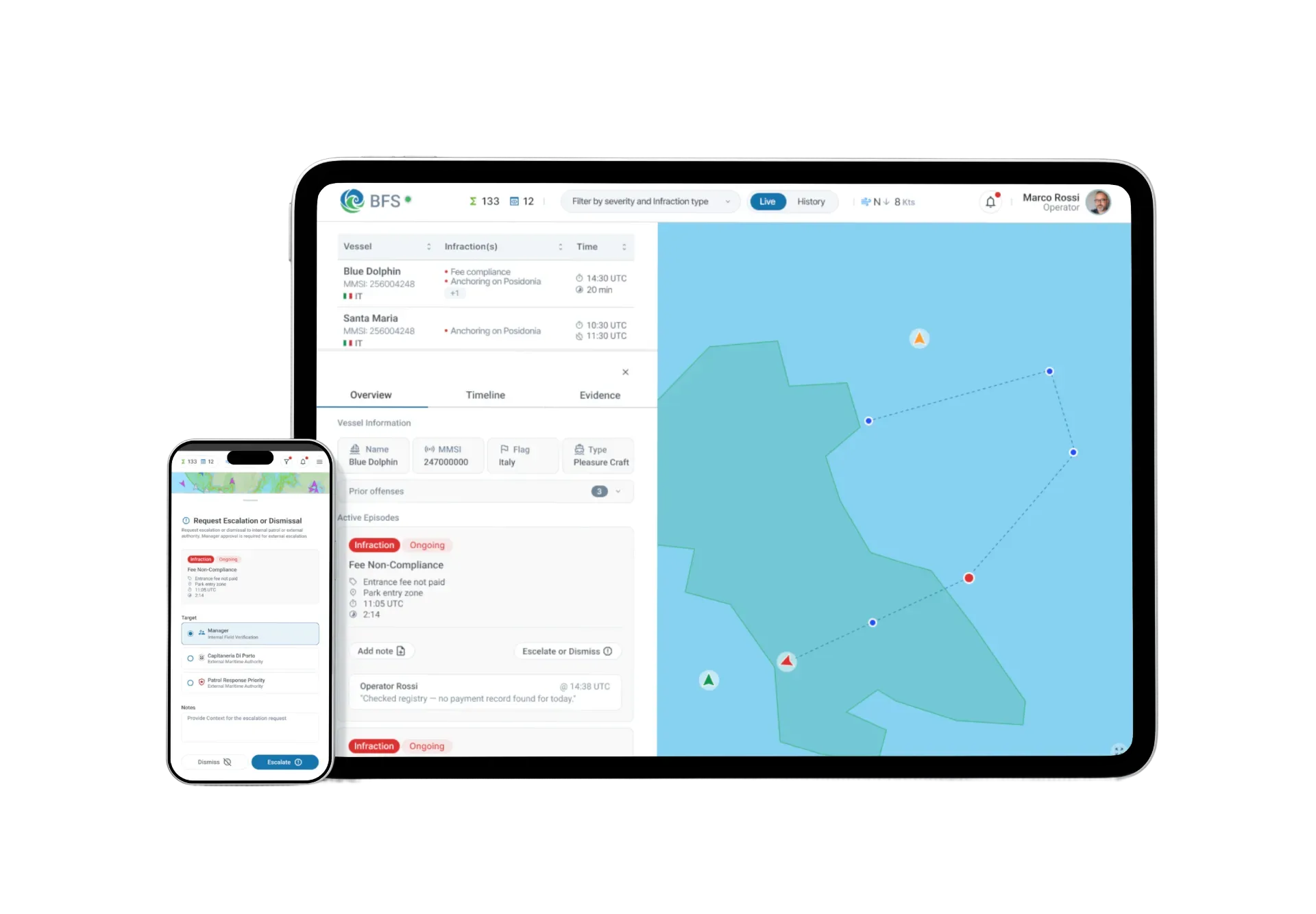
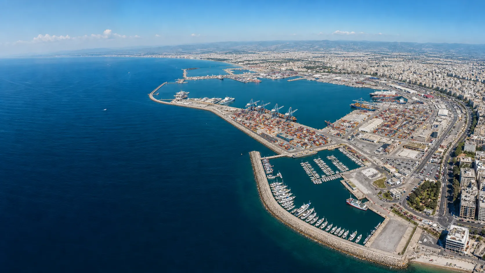
Unified vessel monitoring, cargo tracking, and compliance documentation for port operators and authorities.
Explore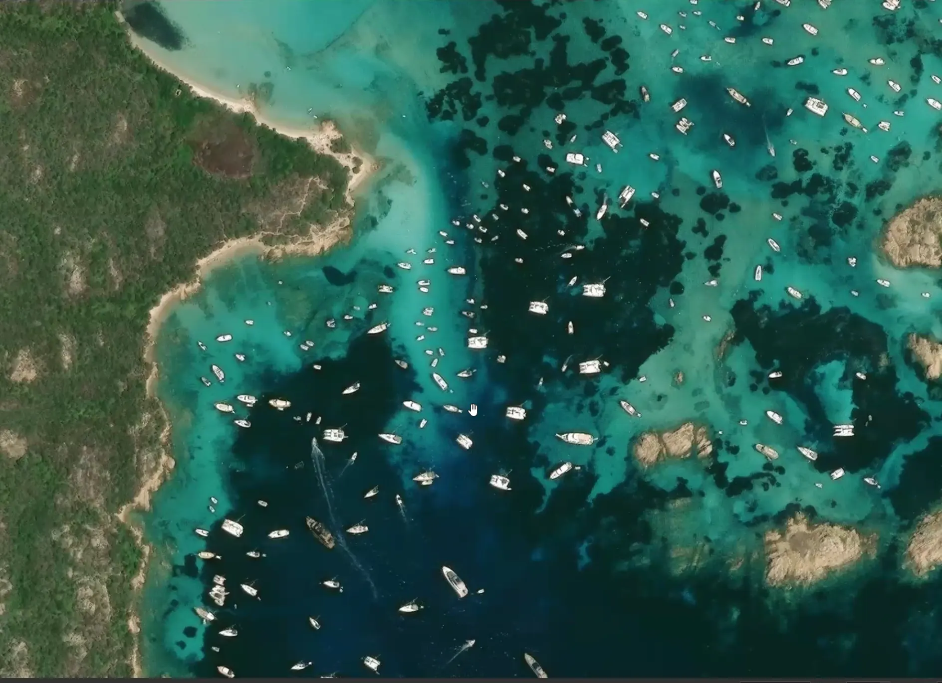 Blue Forest Sentinel
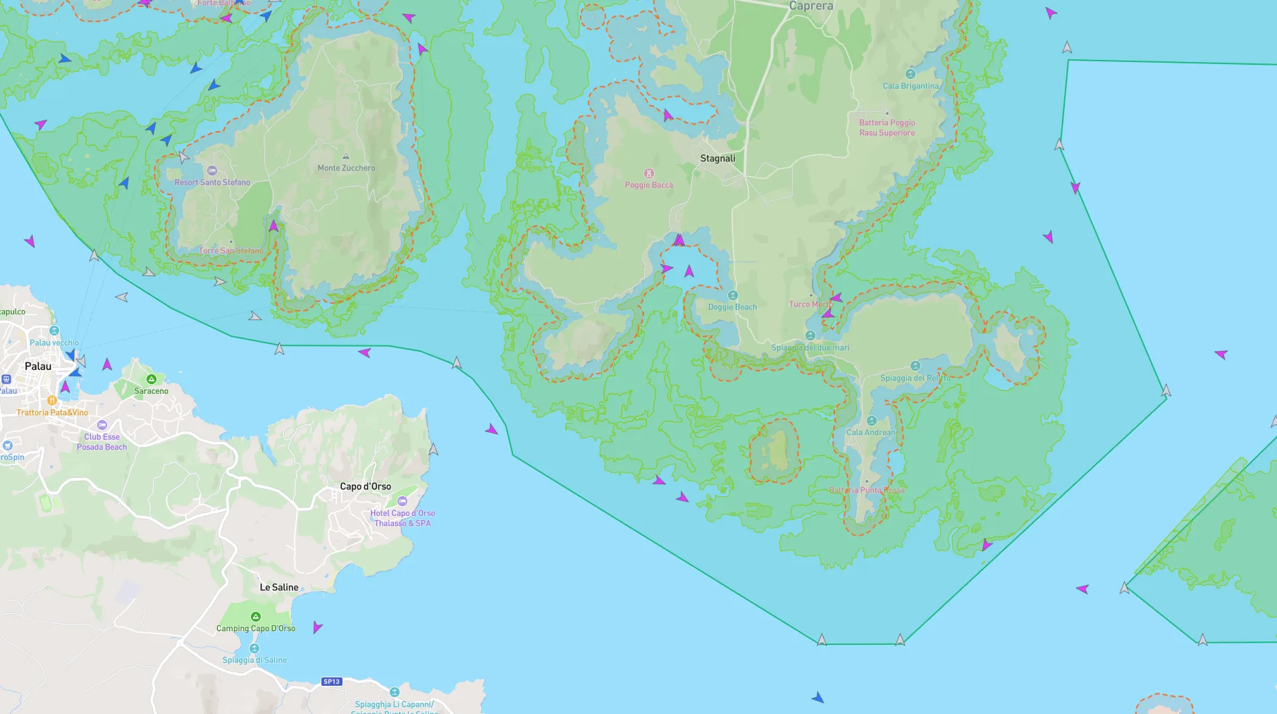
 Environmental monitoring, restoration tracking, and compliance reporting for marine protected areas and coastlines.
ExploreWHY TERRABOX
Satellite, AIS, sensors, and field data connected into a single operational view - no more assembling the picture by hand.
Day and night, across satellite, vessel signals, and environmental sensors - anomalies detected automatically, not reviewed manually.
Timestamped, structured records generated continuously from live data. Regulatory and funder reporting without the manual overhead.
ENFORCEMENT ENABLEMENT
TerraBox does not replace enforcement - it gives the people who enforce the evidence they need to act. Timestamped imagery, geospatial records, and anomaly documentation that holds up when it matters.
<1 in 10
coastal areas effectively monitored today
evidence quality for regulatory action
Whether you're running a port or managing a coastal protected area - we'd like to understand your operational context.