
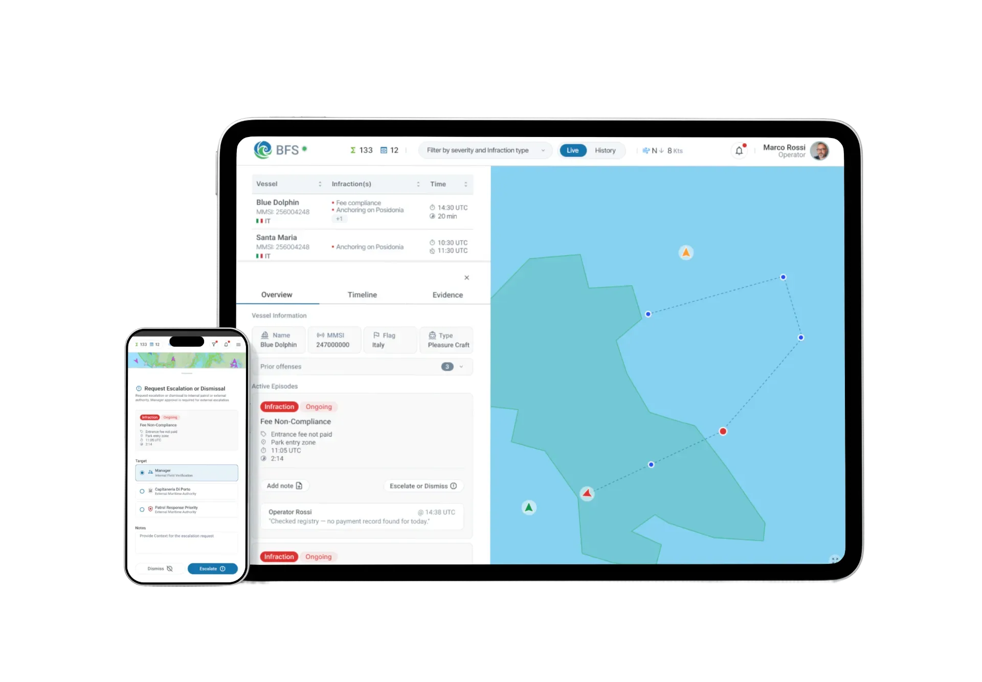
Unified environmental monitoring
Sensors, satellite, AIS, and field data in one live view - environmental conditions and vessel activity together.
Satellite, sensors, AIS, and field data - unified into a single platform for coastal monitoring, restoration, and reporting.
DATA INTEGRATION
MPAs already generate rich data. Blue Forest Sentinel connects it - so your team spends less time assembling information and more time acting on it.
Water quality, temperature, chemistry
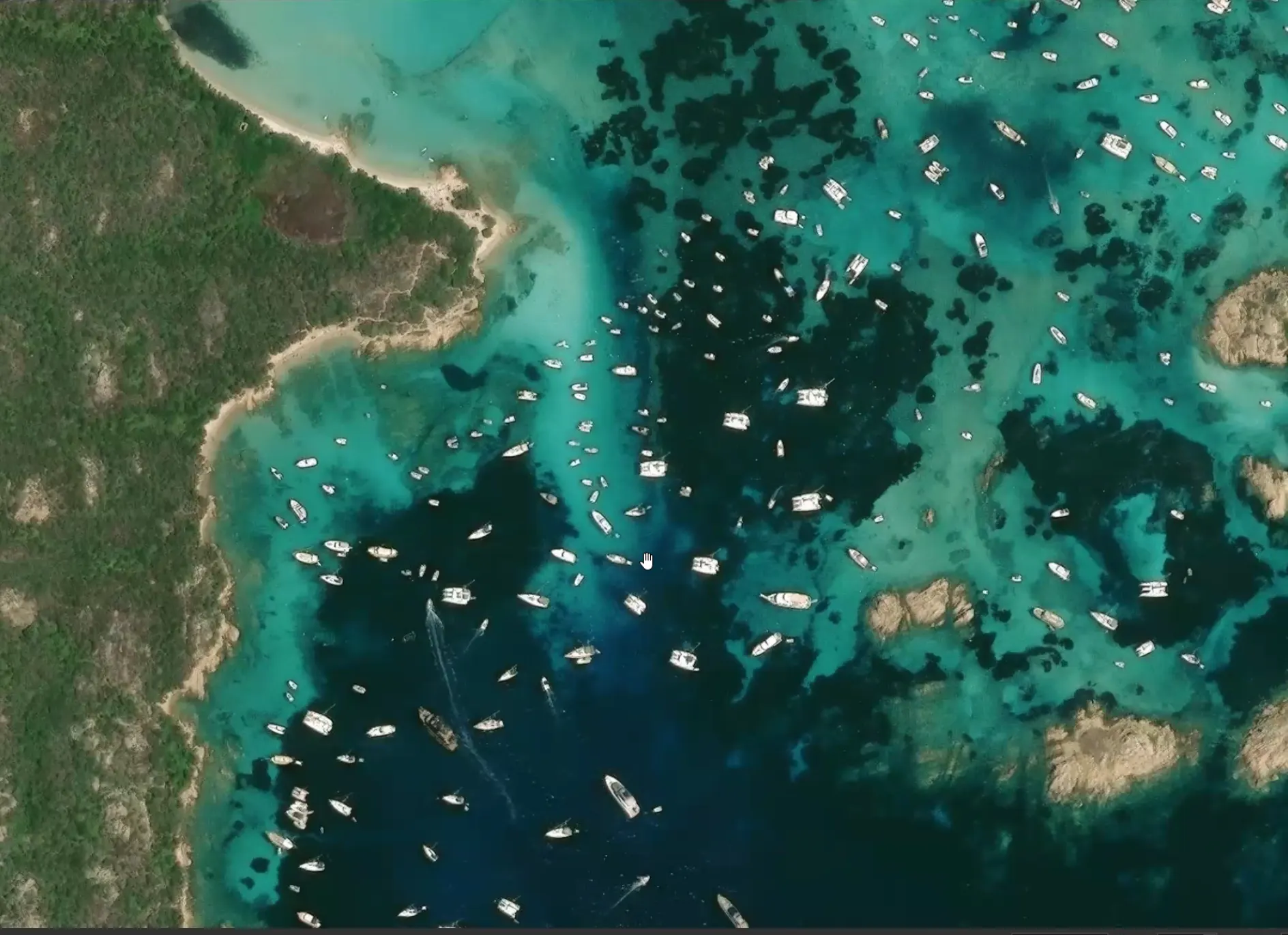
Habitat coverage, dark vessel detection
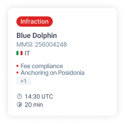
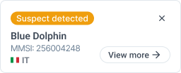
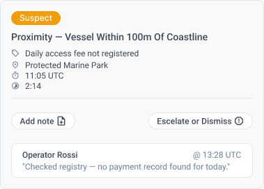
Vessel activity & boundary compliance
Species counts, habitat assessments
Historical ecological data
THE PLATFORM
Environmental conditions, vessel activity, and restoration progress - in one view your whole team works from.

WHAT YOU GET
Sensors, satellite, AIS, and field data in one live view - environmental conditions and vessel activity together.
Habitat recovery trends tracked continuously - so you can show progress to funders and adapt plans as conditions change.
Regulatory and funder reports built from live data. Less time assembling information, more time in the field.
If you're monitoring or restoring a marine protected area, we'd like to talk.
No pitch deck. No RFP required.